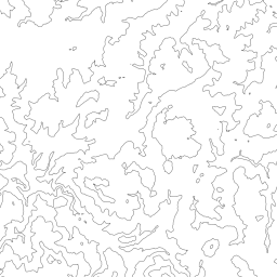
Zoom: 10
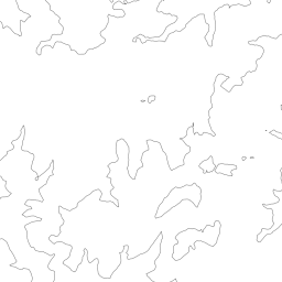
Zoom: 11
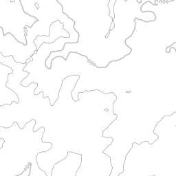
Zoom: 12
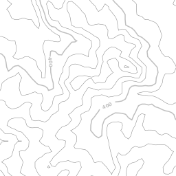
Zoom: 13
You need
- QT 4.6
- libcairo

Call:
- qmake
- make
or create the binary using QT Creator.
qsrtm [-o outputDir] [-s srtmDir] [-m maxZoom] z_x_y[.png]

It computes all Contour tiles from zoom level 10 to level maxZoom (if z greater or equal 10).
Example:
qsrtm 10_548_344
|
Zoom: 10 |
Zoom: 11 |
|
Zoom: 12 |
Zoom: 13 |
To compute all tiles of a region for a tile server, you can do the following steps.
region2tiles lon0 lat0 lon1 lat1 10 > tiles.dat
sh contours.sh < tiles.dat
with contours.sh:
#!/bin/sh
while read line
do
  qsrtm -o /var/www/htdocs/contour -s srtm $line
done
Jens Pönisch